RARE vintage relic SWORD DDAY MAP NORMANDY BEACH 1944 WW2 France military #sword
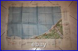
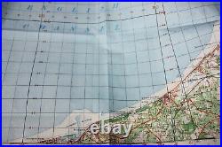
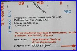
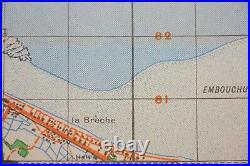
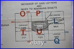
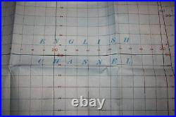
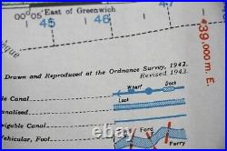

VINTAGE and Original Item : WW2 US MAP. Paper made Geographical Section, General Staff, No.
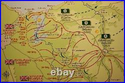
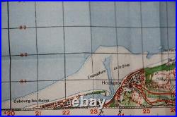
4250 Published by the War Office 1942, 2nd Edition 1943. 1 : 50,000 and measures approximately 75 cm X 55 cm. This is a rare full color single side paper map of Normandy beaches used for the invasion of Normandy. Map shows Normandy landing beach SWORD Beach at june 6. Including Western OUISTREHAM / and LA BRECHE / HERMANVILLE SUR MER. Original and vintage WW2 wartime produced. Item from Normandy (juno Beach). USA/ CANADA / ASIA and worldwide. PLEASE LOOK AT MY OTHER NORMANDY AUCTIONS. Airborne, US, DDAY, relic, paratroopers, german, WWII, AB, dig, carentan, falaise, elite, normandie, normandy, caen, cherbourg, omaha, utah, gold, juno, sword, paper, newspaper, document, uniform, europe, MG34, MG42, Landing, beach, Airborne, 82, 101, drop zone.